2.1Ranked tableCSV
Every parcel on your shortlist, one row each, in site-visit order with its composite score. Keyed to the APN from your own file, so it pastes back into the sheet you already work from.
Solar Site Ranking scores parcels that already passed screening on irradiance, grid distance, access and constraint density, so the first site you visit is one of the strongest.
The GIS team has done its part. Slope, land cover, flood zone and parcel size have knocked the area of interest down to the parcels that could physically host an array, and the survivors reach you as one parcel list keyed to APN. It is long. It is sorted by county, or by owner name, or by nothing.
You have to start somewhere. So you do what land agents do: you open the map, you look at which parcels sit on roads you already know, you think about which owners have picked up before. You pull ownership from the county records and build a route. It is a reasonable route. It follows your week and the roads you know.
The cost of that is quiet. A parcel with a substation just across the road and a clean approach sits at the bottom of the sheet because its owner lives out of state. Another, near the top, turns out to have a farm track for access and a transmission line a long way off, and you learn that on the drive. Nobody wrote down why one parcel went before another, so when the development manager asks why you spent the season on the north end, the honest answer is that it was nearer.
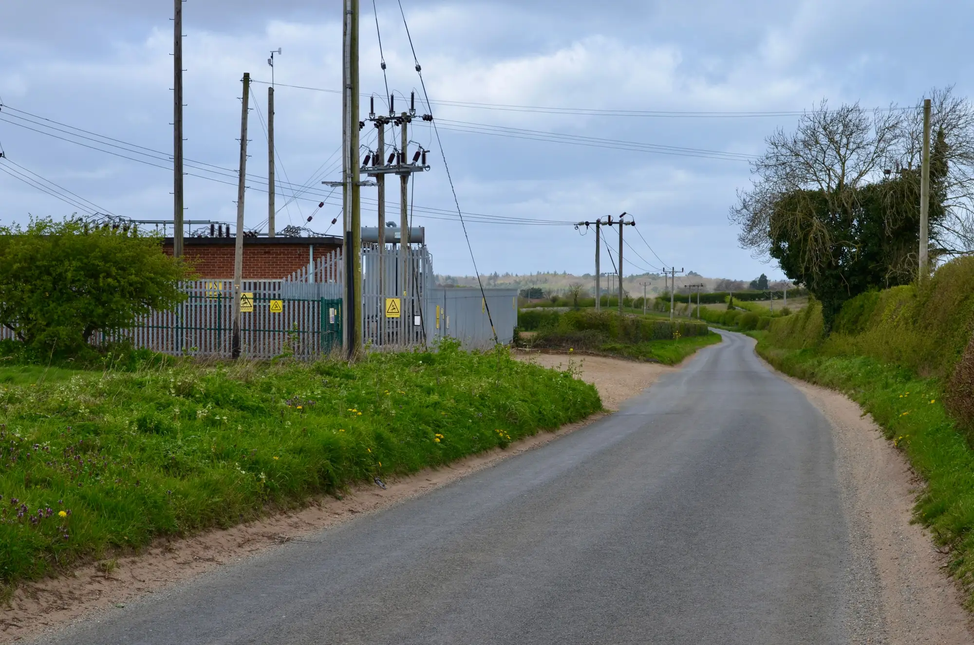
Solar Site Ranking takes that list and puts an order on it before the first drive, with the reason for each position written beside it. It ranks the parcels you already have, from imagery, and leaves every call about landowners to you.
The ranking is a pilot service. It is scoped with you, and the criteria and weights are agreed before a run.
Every parcel on your shortlist, one row each, in site-visit order with its composite score. Keyed to the APN from your own file, so it pastes back into the sheet you already work from.
Irradiance, grid distance, access and constraint density scored separately beside the composite. When two parcels sit close together in the ranking, you can see which criterion separates them.
Once a year the shortlist is re-scored on a fresh pass, so the order follows changes on the ground, such as a new line or a new road. A more frequent re-rank can be asked for.
Your screened parcels as a parcel layer or a list of APNs, plus a note on what you screened for already.
We confirm the four criteria and how they are weighted for your project before any scoring starts.
A high-resolution multispectral satellite pass over the shortlist area supplies the imagery.
Each parcel is scored on the four criteria and rolled into one composite rank.
The ranked table and the criterion breakdown come back in a form that opens in your GIS or your spreadsheet.
The ranking takes the pass/fail list a physical screen produces and orders it, so your time goes to the strongest candidates first. It sits between the GIS team's screen and the first call to a landowner, and the criterion columns give you a line to quote when the development manager asks why the north end waited.
The composite says how a parcel looks from above on four criteria. A high rank does not say a project will be financed, permitted or connected.
Distance is measured to the substations and lines visible in the imagery. It is not read from a utility's interconnection queue, and it says nothing about capacity or headroom on the line.
At 0.5–2 m a substation yard, a building or a paved road shows up clearly. At the coarse end a narrow gravel road is only a pixel or two wide, and a farm track under trees, a fence line or a small drainage ditch will not resolve at any point in the range. Access scores for those parcels carry that doubt.
The ranking is re-run once a year, more often on request. It does not update as conditions change between passes.
Each pass needs a clear-sky window, so the imagery behind a parcel's score is whatever the clearest pass allowed.
Change the weights and the order changes. The ranking is only as good as the criteria you and we agree before a run.
No. The rank is a composite of how a parcel looks from above. It says nothing about financing, permitting, landowner willingness or grid connection.
From the substations and lines visible in the imagery. It is not taken from a utility's interconnection queue, so it tells you what is nearby, not whether the line has room.
Yes. The criteria and their weights are agreed with you before a run, so the order reflects what matters to your project.
The ranking is re-run once a year from a fresh pass. A more frequent re-rank can be asked for.
No. It orders a list that screening has already produced, and your title, legal and financial review still happens after it.
Drive a few parcels from the top and a few from the bottom and compare the order with what you find. Tell us where the ranking disagrees with your site visits and we will go back over the criteria and weights with you.
You send the shortlist keyed to your APNs. You get a ranked table with a criterion breakdown that opens in your spreadsheet or GIS.
This is a pilot, so terms and pricing are worked out with you for your shortlist. Ask in the chat or on the pilot list and a person will come back to you.
Send us the list you are about to drive, or ask about it in the chat.